
Find Village of Mamaroneck Neighbors
Public sources can clarify the block around a Village of Mamaroneck address, but each has a narrow role. The county viewer establishes which parcels touch or sit near the target. The applicable town assessment record supplies the public owner and tax mailing fields. A deed can confirm a recorded transfer. Community organizations and library material can add civic or historical context. None of those records creates a complete list of everyone connected to a street.
| Source | What it shows about a block | Access |
|---|---|---|
| Westchester parcel viewer | Target and adjacent polygons, property-address label, print key | Free county map |
| Town assessment record | Assessment owner, situs, tax mailing, class, exemptions, and parcel fields | Town of Mamaroneck or Town of Rye public system |
| Westchester land records | Recorded parties, legal description, and transfer trail | WRO index, image login/payment, counter, or archives |
| New York voter lookup | Exact individual registration and poll-site response | Supplied personal fields only, not a street browse |
| Civic and local-history sources | Association purpose, public board roles, or dated community material | Public page, library, or member-controlled access |
Start with the parcel map, then confirm an owner in the town record that governs that side of the village. An assessment mailing address is a tax-contact detail, not proof that a person occupies the place. The recorded deed carries a legal description, but a deed party also is not automatically a current neighbor.
Map Village of Mamaroneck Neighbors
The Westchester County Municipal Tax Parcel Viewer gives the cleanest starting point for the immediate block. Its Mamaroneck Village Parcels layer is 378 and exposes a property-address label, a print key, and a municipality field. Select the target parcel, zoom out one level, and click the adjoining polygons on each side. Record the neighboring print keys and situs addresses before opening any assessment result.
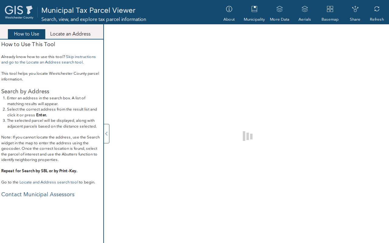
The map view supports a block-first neighbor search because its print keys and property-address labels can be carried into the appropriate town records.
- Select the target address in the county viewer and note its print key and property-address label.
- Zoom out one level, then click each adjacent polygon on all sides rather than assuming a single map edge tells the whole story.
- Write down every nearby print key and situs address, then determine whether each parcel is on the Town of Mamaroneck or Town of Rye side.
- Search each selected parcel in the matching town assessment system and keep owner, tax mailing, and situs fields separate.
- Use the County Clerk land record only when a deed or legal description is needed to verify the parcel trail.
For a whole named street instead of the immediate block, the Village of Mamaroneck street directory uses the broader address-to-deed workflow.
Note: The county service supports advanced queries but caps service results at 2,000 records, so a selected-parcel workflow is more reliable than a wide extraction.
Mamaroneck Neighbors Need Two Town Rolls
The Village of Mamaroneck stopped performing its own assessing function in 2014. West of the Mamaroneck River, begin with the Town of Mamaroneck Online Tax Portal. In Rye Neck, use Town of Rye Image Mate Online. The first portal allows a property address, tax map number, or partial owner-name search, with one criterion at a time. The Rye system provides public RPS data, tax maps, and property images, although every field is not exposed in the same way.
On either side, record the tax map or parcel number, property location, owner name, owner mailing address, deed reference, class, assessment, exemptions, parcel or grid data, and district fields that appear. The mailing address can show where the tax bill goes. It cannot establish a present household. Likewise, a property class or exemption is not a statement about who lives there.
An official Town of Mamaroneck assessor search shows the address, tax-map, and owner modes used for west-side Village parcels.
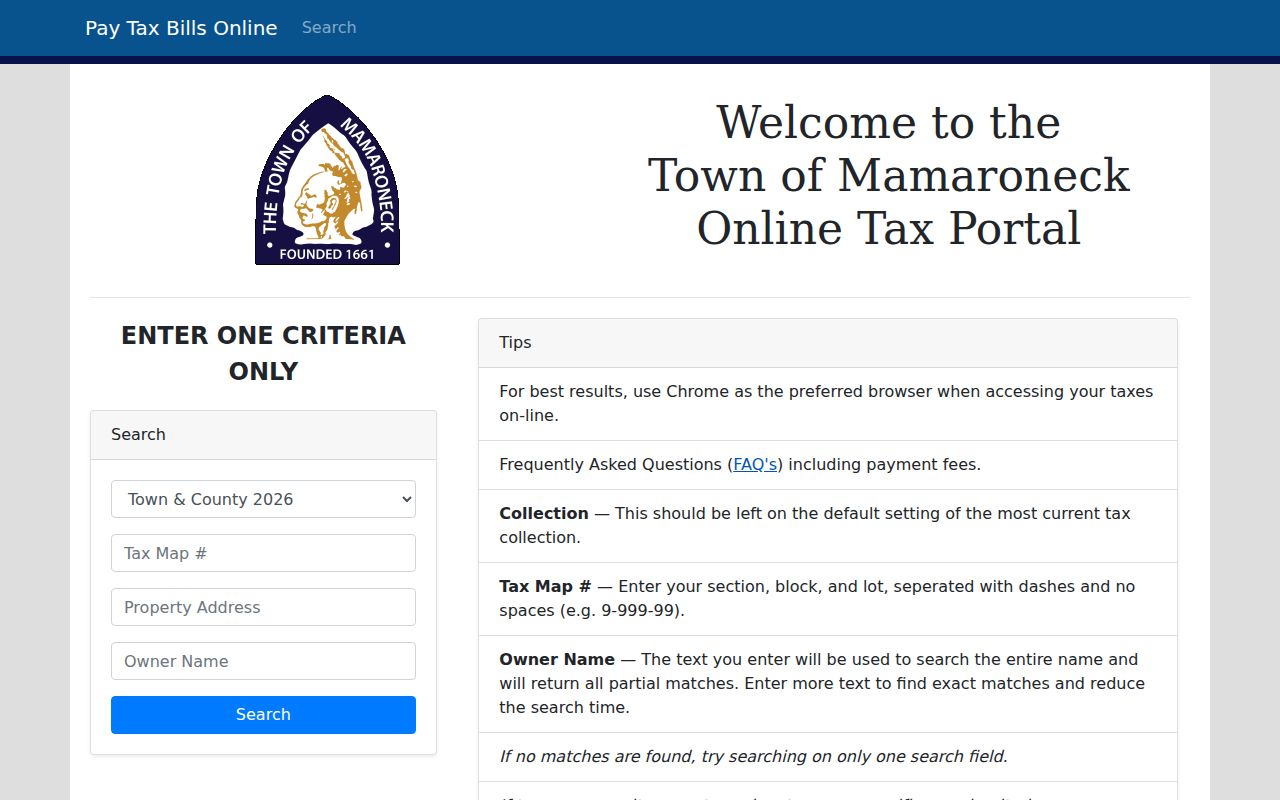
Save the displayed parcel and situs details before switching to the county map or deed index, since those shared keys make a neighbor record easier to verify.
Mamaroneck Neighbor Map Myth
A parcel that looks next door on screen is not always the legal neighbor for every purpose. Shared drives, a river, road rights-of-way, condominium parcels, tax-district lines, and gaps or overlaps in map edges can change the relationship. The Westchester parcel service specifically warns that municipality-maintained boundaries are approximate. Do not use its linework as a survey or substitute for a recorded description or definitive tax map.
Use the map to find candidate parcels, not to decide an ownership boundary. If the map shows an unusual edge, compare the print key, town parcel data, and the legal description in a recorded instrument. The research did not verify a current viewer label for a rectangle or buffer selection tool, so clicking individual adjacent polygons is the documented method.
Mamaroneck Neighbors and Voter Checks
New York’s Voter Lookup is not a public way to browse a block. It requires an individual’s last name, first name, date of birth, county, ZIP, and address information. It can help an individual check registration, poll-site, or ballot status when those details are already known. It does not supply a streetwide map or list of registered people near a parcel.
A county or statewide voter file has a separate route. New York Election Law §3-103(5) requires an elections-purpose statement, and confidential voter registrations are omitted. State Board of Elections aggregated statistics exclude personally identifying information. A missing lookup result can reflect incomplete supplied data, list maintenance, or confidentiality. It should never be treated as a conclusion about who is or is not a Village of Mamaroneck neighbor.
Mamaroneck Neighbors Civic Contacts
Civic sources can help a reader understand the organizations around a block without turning them into a household directory. The Shore Acres Property Owners Association serves Shore Acres in the Village of Mamaroneck’s Town of Rye area and describes its purpose as protecting property-owner interests and working with officials and other associations. Its located public page does not publish a member roster. Other local listings carry similarly limited signals.
| Community contact | What its public material covers | Roster limit |
|---|---|---|
| Shore Acres Property Owners Association | Shore Acres civic and property-owner interests | Member roster not found on the public page |
| Village staff and board directory | Public officials, departments, boards, and committees | Civic roles only, not a neighborhood list |
| Mamaroneck Chamber directory | Public member categories and contacts | Not a household or property-owner roster |
| Rye Neck Family Directory / PTSA | School-community network | Member-controlled and not assumed public |
A Shore Acres Association page provides the public civic context for that Town of Rye portion of the Village.
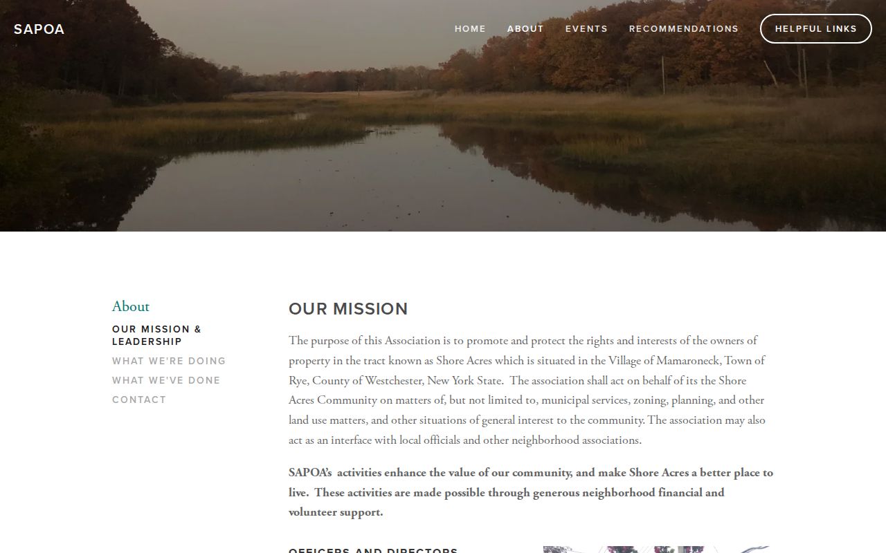
The association’s stated local-government interface is a practical contact path, while the absence of a public member roster remains an important boundary.
Mamaroneck Neighbors Official Comparisons
Official parcel and land records state what their custodians record. Commercial neighbor-lookup tools compile property, marketing, directory, and other public-source material into a category that may be convenient but can be incomplete or stale. Start with a parcel and the applicable town record, then use the County Clerk or a civic contact only for the specific question at hand.
| Official record path | Commercial neighbor-tool category |
|---|---|
| Shows a custodian’s parcel, assessment, or recorded-deed data with its own date and limits | May combine records from different dates and attach an outdated owner or household connection |
| Uses a public print key, situs, deed, or civic role that can be checked at the source | Cannot reveal private utility accounts, unlisted occupants, or protected voter records |
| Offers a counter, archive, or records-request fallback when a web view is incomplete | Does not replace the record held by the assessor, County Clerk, elections office, or association |
For a mismatch, return to the public custodian rather than trying to reconcile a compiled listing. Official records can also lag an event, so compare dates and do not publish an unverified name-and-address pairing as fact.
Mamaroneck Neighbor Memory Sources
Block history often survives outside current parcel records. Mamaroneck Public Library and Mamaroneck Historical Society can provide dated context through yearbooks, newspapers, local photographs, maps, and archives. In 2026, four scrapbooks documenting the Mamaroneck-Larchmont Men’s Softball League from 1976 through 1980 were added to the library collection for appointment-only viewing. That is a time-specific community source, not a current-neighbor list.
Use a scrapbook, yearbook, or newspaper item to form a historical question, then verify an address or ownership event in the town roll or County Clerk record. The research found no official comprehensive roster for congregations, block watches, or clubs, so a public event notice should not be expanded into an assumption about who lives on a block.
Note: Local-history material can date a community connection, but the town parcel record remains the starting point for a present address.
Mamaroneck Neighbors Privacy Limits
Parcel, deed, and civic records do not disclose every person connected to a Village of Mamaroneck address. New York’s Address Confidentiality Program protects an eligible participant’s actual location through a substitute mailing address. Confidential voter registration under Election Law §5-508 is not available for public inspection or copying. DMV records and private utility or delivery accounts are also outside a block lookup.
Do not infer that an unlisted person is absent from the block. Records can be delayed, incomplete, or deliberately protected. Use public sources for a specific, lawful personal purpose such as community history, a property question, or reconnecting with a known contact through an appropriate public channel.