
Village of Mamaroneck Previous Residents Sources
A backward address trail begins with the newest reliable record and moves toward older evidence. First identify the current situs address and the town side of the village. Then carry the parcel key, legal description, and every historic address form into the next source. The Westchester land index gives the title trail, while town rolls, city directories, census schedules, maps, and Building Department material add timing and household context. They do not all cover the same period or identify the same person.
| Source | Years It Covers | Where Held | What It Shows |
|---|---|---|---|
| Westchester land records | Advertised from 18th-century deeds to recent entries; exact online cutoff unstated | Westchester Records Online and County Clerk | Grantor, grantee, instrument, recording details, and legal description |
| Town assessment material | Current portal and annual-roll material; older reach varies | Town of Mamaroneck or Town of Rye | Parcel key, situs, owner, mailing address, and deed reference |
| Regional directories | Located editions span 1871–74 through 1930/31 | Subscription, regional, library, and archive leads | Names, addresses, businesses, and address-first clues where present |
| Federal census | 1900–1950 currently released; later schedules follow the 72-year rule | Federal census access through library and archival research | Household details under the correct town geography |
| Village parcel history | Online starting year not stated | City Squared, Building Department, or records request | Permit, certificate, application, and inspection dates |
For a recent change in title, start with the town roll and the recorded deed. For a person who used the address in an earlier era, start with a directory or released census, then move back to the parcel and deed evidence. A permit applicant may have had a connection to the property, but that alone does not establish that the person lived there.
Note: Keep each source in date order, because a correct name paired with the wrong year can produce a false household trail.
Set a Mamaroneck Address Key
Normalize the address without discarding the printed form found in an old source. Village of Mamaroneck crosses the Mamaroneck River: west-side parcels are assessed through the Town of Mamaroneck, while Rye Neck parcels on the east side use the Town of Rye. The village ended its own assessing function in 2014. A search can therefore miss the correct roll even when the street and postal city are right.
Use the Town of Mamaroneck Online Tax Portal for the west side. It accepts one criterion at a time: a dashed tax-map number with no spaces, property address, or a partial owner name. For Rye Neck, Town of Rye Image Mate Online provides public access to RPS data, tax maps, and property images. The county parcel viewer helps locate the town-side seam but does not replace the town record.
- Situs address
- The physical property location. It can differ from the mailing address used for the tax bill.
- Tax map or parcel key
- The identifier that ties an address to the correct assessment system and often survives a street-name variation.
- Legal description
- The lot, plat, subdivision, book, page, or other recorded description used to identify land more reliably than a changing street address.
This town-side check is the practical starting point for previous residents research. It prevents a record from Rye Neck from being treated as a Town of Mamaroneck absence, or the reverse.
Previous Residents and Mamaroneck Deed Chains
Ownership is not the same as occupancy, yet the deed chain is the most dependable backbone for an address history. Pull the current owner, property location, parcel number, and deed reference from the proper town record. Then use the owner as a grantee in the county land index to locate the purchase document. The seller named in that instrument becomes the next earlier grantee to find. Read the legal description each time, since street numbers and local labels can change.
- Save the current owner, situs address, tax-map number, and any book, page, or deed reference.
- Open Westchester Records Online and enter the Land Records route, then seek the current owner’s purchase as grantee.
- Record the seller as grantor, the recording or document number, date, instrument type, and legal description.
- Search that seller as an earlier grantee, then repeat backward one conveyance at a time.
- Use parcel, lot, plat, and book/page details to bridge an older street description. Request an image or counter help when the online route stops.
- Grantor
- The party transferring an interest in the property.
- Grantee
- The party receiving that interest. A seller in one deed is often the grantee in an earlier purchase.
- Chain of title
- The sequence of recorded transfers used to follow a parcel through successive owners.
County staff can also search by owner, grantor, grantee, address, legal description, parcel, book/page, or document number when a request gives a date range. Ask for the existing record or index entry rather than a general answer.
Mamaroneck WRO Access Catch
Westchester Records Online advertises Land Records, Legal Records, and Maps, and describes material from 18th-century deeds through recent judgments. That is not a stated cutoff for a particular Mamaroneck parcel. The public landing page also separates the searchable database from the official records held at the County Clerk. Treat the portal as a way into the trail, not as proof that a blank result means the earlier record is gone.
Images require a login, and licensed remote access is advertised at $20 for one day or $1,200 for 365 days. If that route is impractical, use the County Clerk’s Land Records Division counter or request assistance from the County Archives. The Clerk’s office lists weekday counter hours of 8:30 a.m. to 4:30 p.m.; the County Archives offers individual-record retrieval and custom research for its stated fees.
Village of Mamaroneck Previous-Resident Town Rolls
Assessment material can verify the parcel for each reachable era, but its owner and mailing-address fields need careful reading. A tax roll may show the property location, class, assessment, exemptions, owner name, deed information, and a current-owner address. The property location is the situs. The owner address is where the bill is sent and may be a trust, family member, business, or other contact rather than a residence.
Town of Mamaroneck portal results should be searched with one field only. Its tax-map format uses section-block-lot numbers with dashes and no spaces, and an owner-name search returns partial entire-name matches. Town of Rye’s public Image Mate route supplies RPS data, tax maps, and property images. Preserve which town supplied each result, because the town split is part of the record context.
For a shared visual reference, the Westchester municipal parcel viewer includes Mamaroneck Village Parcels layer 378. Its parcel boundaries are approximate. Use the displayed property address and print key as navigation clues, then verify in the applicable town roll or deed.
Previous Residents in Mamaroneck Directories
Once the parcel trail reaches an older period, address-first or criss-cross pages can show who was printed at that address. Start with the street and number as it appeared in the period, copy names and abbreviations exactly, then check the alphabetical part of the same volume. Located runs include Curtin’s Westchester volumes for 1871–72 and 1873–74, Turner railroad-line editions from the 1880s into 1910–11, Richmond runs in the 1910s and 1920s, and regional Mamaroneck-area references for 1927/28 and 1930/31.
The collections themselves need a volume-by-volume availability check. Mamaroneck Public Library, the Historical Society, regional repositories, and subscription or scan sources are all useful leads. For the full collection context and entry-reading rules, see the Village of Mamaroneck city directory collections. A directory occupant may be different from the deed owner, so retain each role separately.
Google Books’ 1896 Turner volume is a free 330-page regional resident and business book. It is a good test for a name, street, or nearby community in the period.
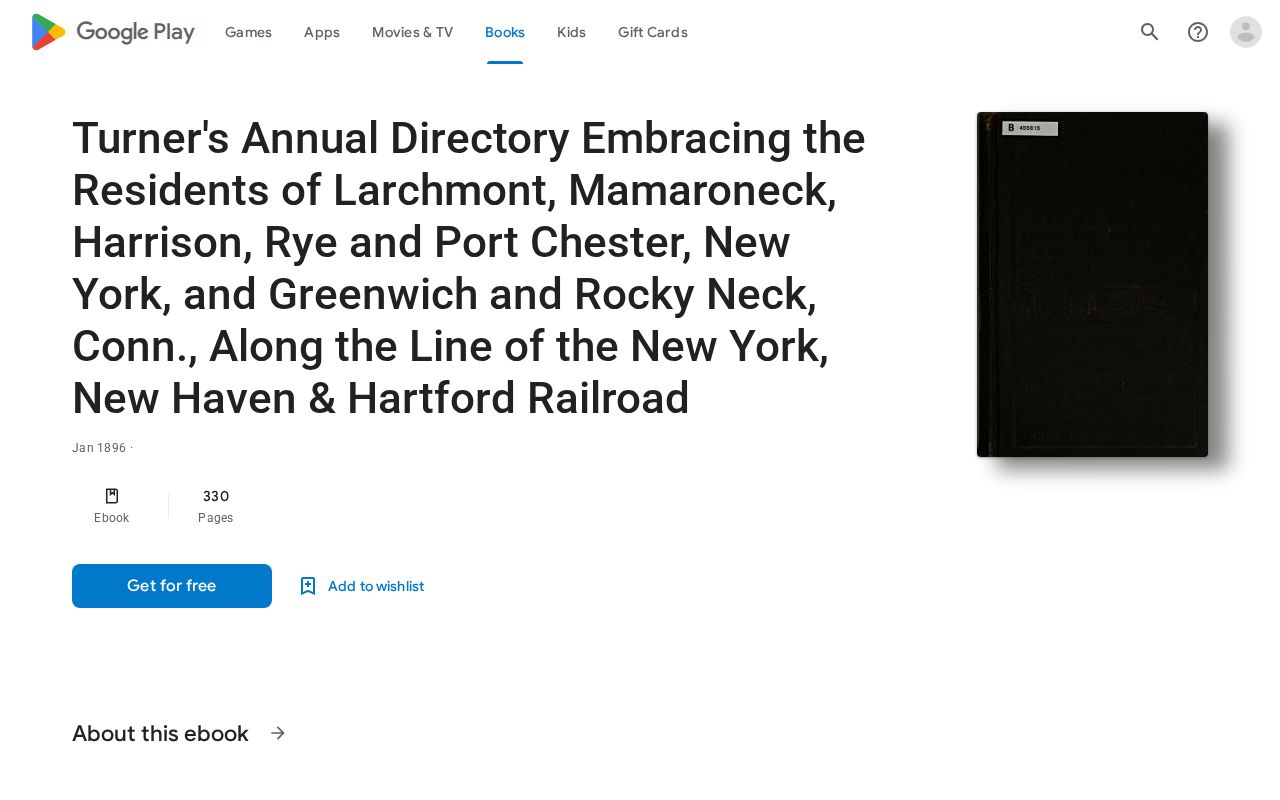
Use the printed locality and address in the volume, then test the result against another dated record. The regional scope is valuable, but it means a Mamaroneck-area entry should not be assigned to the village without reading its location.
Mamaroneck Census Pairing for Previous Residents
Pair the closest directory years with the released federal census years 1900, 1910, 1920, 1930, 1940, and 1950. The federal 72-year release rule applies to later schedules, so 1960 material is not a current substitute. Census geography can be awkward here because historical tables may put village territory in the Town of Mamaroneck or Town of Rye. Use the address, town side, spouse, age, and neighborhood together.
- Locate the address in a directory close to the census year and retain its original spelling.
- Identify the correct town geography for that date before opening a schedule.
- Compare household names, ages, relationships, and street information without assuming every field agrees.
- Check the adjacent directory year for a move, altered initials, or a person entering or leaving the household.
- Use an obituary, probate file, or later deed to explain a disappearance when the chronology supports it.
The Mamaroneck Public Library is a practical contact for newspaper microfilm, yearbooks, maps, and possible subscription access. Its public web material does not confirm a complete directory shelf, so ask the reference desk about the specific year and record the answer.

The library’s dated local newspapers can connect a directory entry to an obituary, marriage notice, civic item, or business notice. They remain supporting evidence rather than a full address roster.
Village of Mamaroneck City Squared Dates
The Village Building Department directs parcel-history research to City Squared, not to the permit-payment route. A logged-in account can search by street address, owner name, or section, block, and lot. The instructions describe permit history, certificate history, and applications. Those date a construction change, certificate, inspection, or filing. They do not demonstrate that the applicant occupied the address.
For a missing file, ask the Building Department or records officer for existing applications, plans, inspection history, and certificates by address, parcel, and date range. The local instructions do not state an online start year, result cap, or copy fee. A focused FOIL request can seek existing records, though FOIL does not require an agency to create a new list or answer a broad research question.
Note: Permit and certificate dates are useful time markers, but ownership and household evidence still need their own records.
Mamaroneck Maps and Building Dates
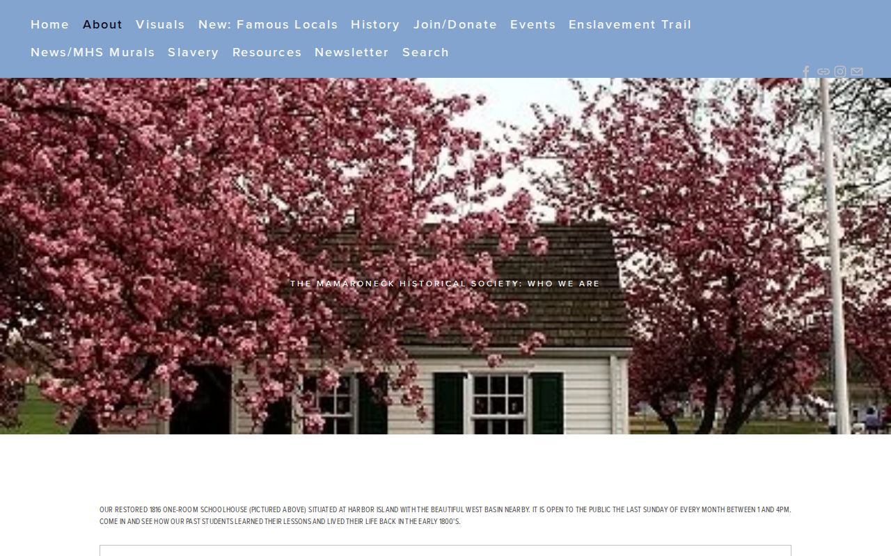
The Mamaroneck Historical Society preserves local history, maps, photographs, publications, and genealogical material across the Town of Mamaroneck, Village of Mamaroneck, and Village of Larchmont. Its map resources reach back to 1774. For an older lot, the 1868 Beers atlas can connect landowners, buildings, and lot information in Mamaroneck Town, Orienta, and Rye Neck.
The 1896 Library of Congress Sanborn item contains six sheets and is freely available, but no approved image capture was available for it. Read the map with its date and sheet coverage in mind. A footprint can place a structure in time; it does not identify every household connected with it.
Mamaroneck Past Households Endpoints
Close a past-residents trail with sources that explain an exit from the address. The New York State Library catalog identifies Mamaroneck Public Library microfilm for Mamaroneck Paragraph in 1890–96 and 1898–99, selected Mamaroneck Register issues for 1895, and later Paragraph holdings for 1911–12, 1917–24, plus a 1925 issue. The Westchester County Historical Society has additional issues. Obituaries, probate, cemetery material, and newspapers may clarify a move, death, or family connection.
Do not treat a missing online result as proof that a person never lived at the address. A directory can omit people, a census may use a different town geography, a title record may name only an owner, and an index may require a counter or archive request. Preserve the unanswered gap and the next strongest source.